Navigator
preface
Search
Favorites
make favorite
Updates
Contact
Nederlands
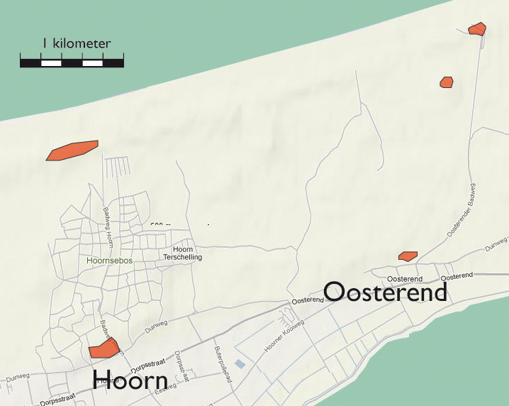
Map section Hoorn | Oosterend
toelichting
Clarification
Clarification
Clarification
Clarification
toelichting
Toelichting
toelichting
toelichting
Clarification
links
Maps
Map section West-Terschelling
Map section Midsland
Map section Hoorn | Oosterend
Map section Oosterend
Deelkaart Clingendael
Deelkaart Kijkduin
Deelkaart Meyendel
Deelkaart Scheveningen
Deelkaart Wassenaar
Deelkaart Wassenaarseslag
Map section Katwijk | Noordwijk
Map section Katwijk Noord
Map section Katwijk
Map section Zandvoort - Katwijk
Map section Zandvoort
Map section Waterleidingduinen - Zuid
Map section Waterleidingduinen
Map section De Zilk
Map section IJmuiden - Zandvoort
Map section Huisduinen
Map section De Kooy
Map section De Donkere Duinen
Map section Haven
Map section Julianadorp
Map section Zanddijk | Julianadorp
Map section IJmuiden | Velsen-Zuid
Map section oud-IJmuiden
Map section Hoogovens
Map section Beverwijk | Velsen-Noord
Map section Westkapelle
Map section Domburg
Map section Oostkapelle
Map section Nieuw Haamstede
Map section Westerschouwen
Map section Kop van Goeree
Map section Ouddorp
Map section Goedereede
Map section Voornes Duin
Map section Oostvoorne
Map section Brielle
Map section Haringvliet
Map section Hellevoetsluis
Map section Monster
Map section 's Gravezande | Naaldwijk
Map section Maasdijk
Map section Waterweg
Map section Waterweg | Hoek van Holland
Map section Valkenburg
Map section Berkheide
Map section Noordwijkerhout
Map section De Dennen | Den Hoorn
Map section Freie Küste Den Helder - Callantsoog
Map section Callantsoog
Map section De Hors | Den Hoorn
Map section De Koog
Map section De Mok
Map section Den Burg
Map section Eierland
Map section Freie Küste Den Helder - Callantsoog | Oost
Map section Oudeschild
Map section Petten
Map section Westerslag | De Dennen
Map section Slufter | Vliegveld
Map section Schagen
Map section Bergen
Map section Bergen aan Zee
Map section Groet
Map section Fliegerhorst Bergen
Map section Schoorl
Map section Castricum aan Zee
Map section Bakkum | Castricum
Map section Egmond a/Zee | a/d Hoef
Map section Heemskerkerduin
Map section Egmond Binnen
Map section Breskens
Map section Dishoek Koudekerke
Map section Koudekerke
Map section Rammekens
Map section Vlissingen Binnenhavens
Map section Vlissingen Nollebosch
Map section Westkapelle
Map section Middelburg
Map section Afsluitdijk
Map section Dorp
Map section Duinen
Map section Holwierde | Delfzijl
Map section Hollum
Map section Hoorn | Oosterend
Map section Midsland
Map section Kornwerderzand
Map section Oost-Vlieland
Map section Oosterend
Map section Posthuys
Map section Stuifdijkpad
Map section Termunterzijl
Map section Vlieland Midden
Map section West-Terschelling
legenda
Extant German emplacements
punten op de kaart